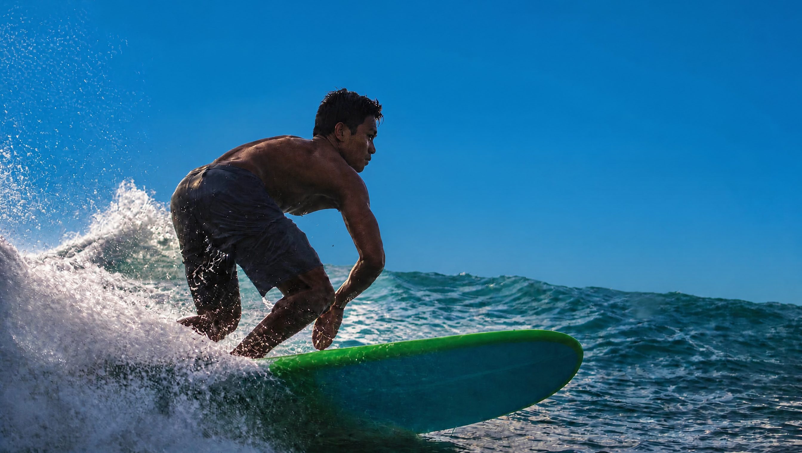
A surfer turning off the lip on a clean blue day

The map of the
Philippine outdoors.

Trails, breaks, reefs, and bike parks. Dropped by the people who went. No app, no login.

130 verified spots

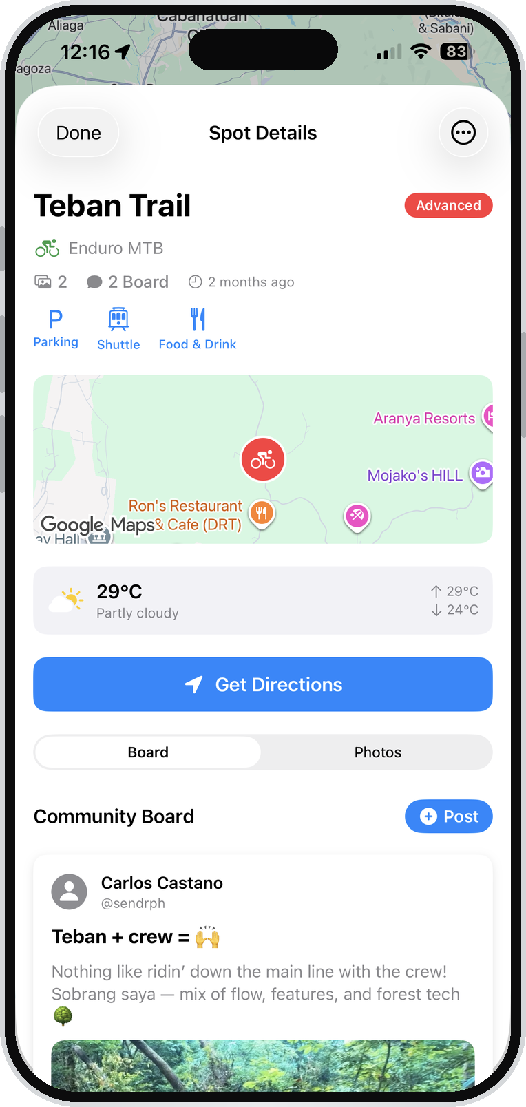
The Sendr Spots app showing the Teban Trail spot page

Philippines · 130 verified spots

Tap a pin to see what's there.

Difficulty

Activity

Every spot

Live from the app

New in the app

Save it. Check it.
Send it.

The map finds the spot. The app gets you there, and keeps count of everywhere you've been.

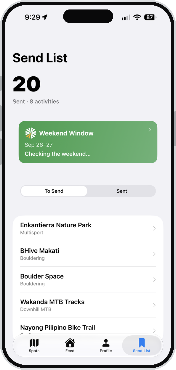
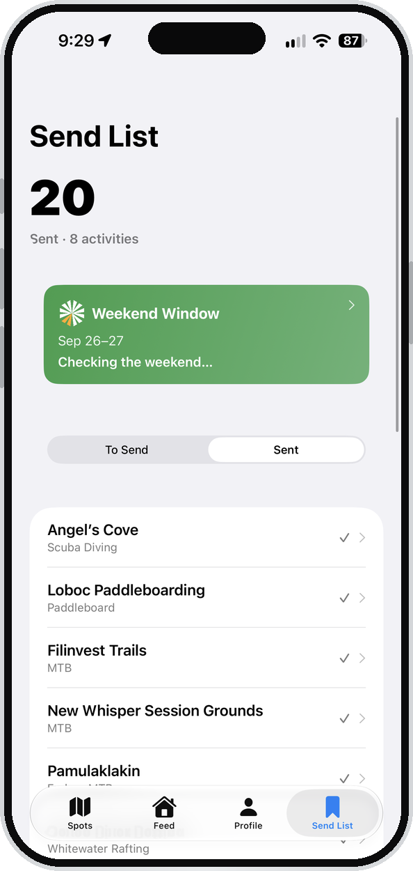
  1. The Send List tab showing saved spots to visit

    01

    Save it.

    Put spots on your Send List. The ones you keep meaning to get to, in one place.

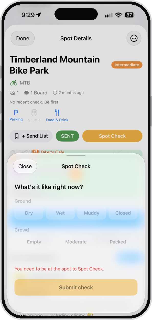
  2. Spot Check asking what the ground and crowd are like right now

    02

    Check it.

    At the spot? Tap the ground and the crowd. You have to be there to check, so every check comes from someone standing on it.

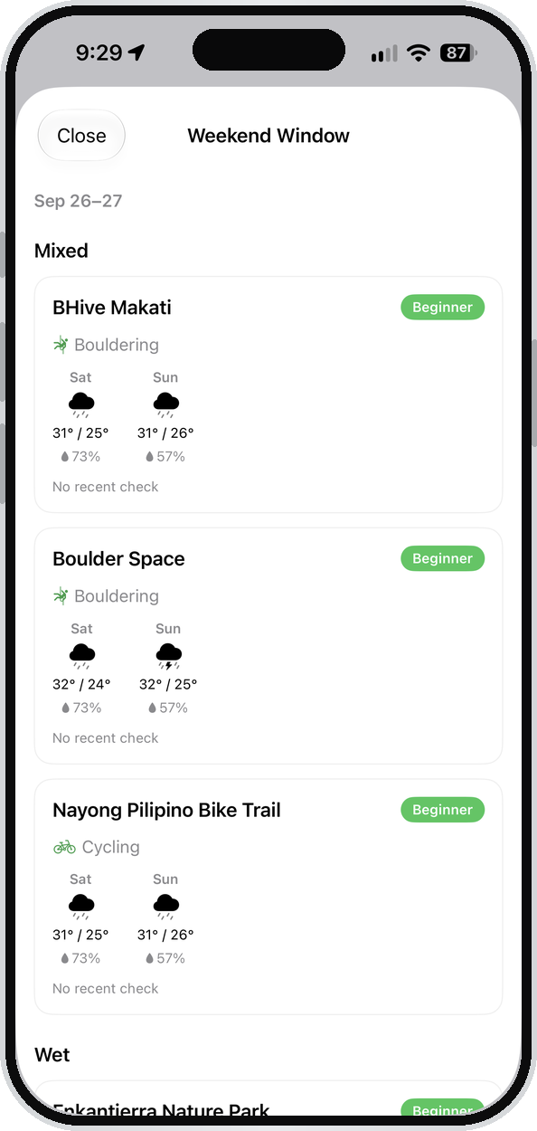
  3. Weekend Window showing Saturday and Sunday forecasts for saved spots

    03

    Weekend Window.

    Thursday evening, the weekend forecast for every spot on your Send List, sorted by conditions.

  4. The Sent tab counting spots done across activities

    04

    Send it.

    Been there? Mark it Sent. Every spot you've done, counted.

Get it on iPhone Free. Android's in build.

The reality

Filipinos plan their
weekends in a group chat.

Where to ride. Where the surf is working. Which reef is worth the boat. Whether the trail is even open.

That information lives in Facebook comments, a blog post from 2017, and somebody's friend who went last year. There's never been one map of it.

So gear gets bought late, trips get abandoned, and the people who want the outdoors most get less of it than they'd like.

Sunday Ride

JP

Ride this Sunday? Sino game

Game. Saan tayo?

JP

Timberland ulit?

Nakakasawa na. May iba ba

Andrea

May narinig ako sa Rizal. Di ko alam yung pangalan

Nabasa ko sa blog pero 2019 pa yun

Andrea

May alam ba kayo kung bukas pa?

JP

Tanong ko muna sa kilala ko. Balitaan ko kayo

Why the spot page matters

A spot page is the moment someone decides to go.

Most trips die in the research. You hear about a place, you can't find out how to get there or what it costs, so the group chat goes quiet and the weekend gets spent somewhere else.

A spot page ends that. It's enough to stop asking around and start packing.

  • Getting there
    One tap to directions, from wherever you're standing.
  • What you pay
    Entry, guide, shuttle, parking. In P, before you leave the house.
  • Conditions
    Live weather at the spot, not at the nearest city.
  • Photographs
    From someone who was actually standing there. Never a stock shot.
  • The board
    What people found when they went. Open trail, closed gate, new line.

Who's on the map

Built post by post,
never bought.

Riders, runners, divers, surfers, and climbers who drop the spots they went to so the next person can find them. This isn't a feed you scroll. It's the group chat, mapped.

Over 100

Stories published

First-hand reporting on sendr.ph.

25,000

Community

Across Instagram and Facebook.

130

Verified spots

Mapped across the Philippines.

2021

Building since

Five years of the local outdoors.

Where it's going

The map keeps growing.

We started at zero spots. The community adds more every month.

Now

Live on iPhone

In open beta. Anyone with the link can join. No account needed to use the map.

In build

Android

Development started in August. Android is the majority platform here.

November 29

Teban 9

Gravity race at Teban Trail in Doña Remedios Trinidad, Bulacan.

Spot of the month · September 2026

Teban Trail

Advanced  ·  Enduro MTB

Just a couple of hours from the capital, Teban Trail in DRT is easily one of the best places to ride and race enduro and downhill MTB. Backed by a solid community and led with care by local rider Adler and the Bulacan Gravity Crew, this spot is worth the trip.

  • Parking
  • Uplift
  • Food and drink

15.0567, 121.0831

North of Manila in Doña Remedios Trinidad. The trail runs through the Candle Monument. Around a couple of hours from the city.

  • A rider clearing the drop at the Teban Trail start gate during a race
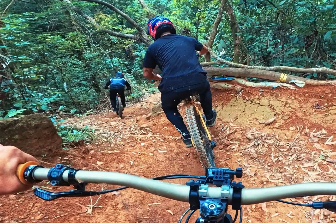
  • Following two riders down a loamy section of Teban Trail
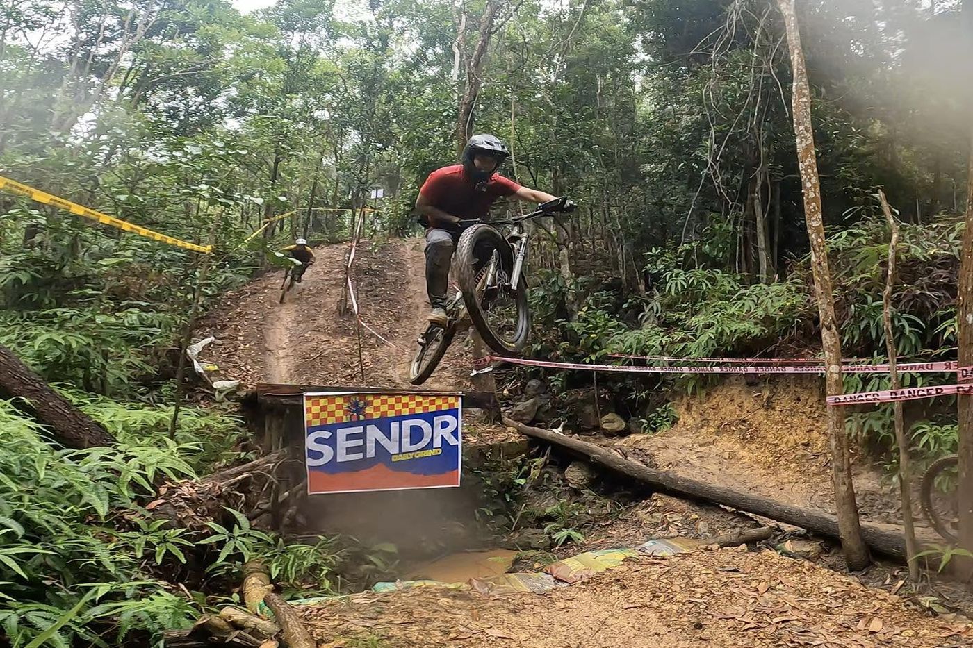
  • A rider sending the gap jump over a Sendr banner
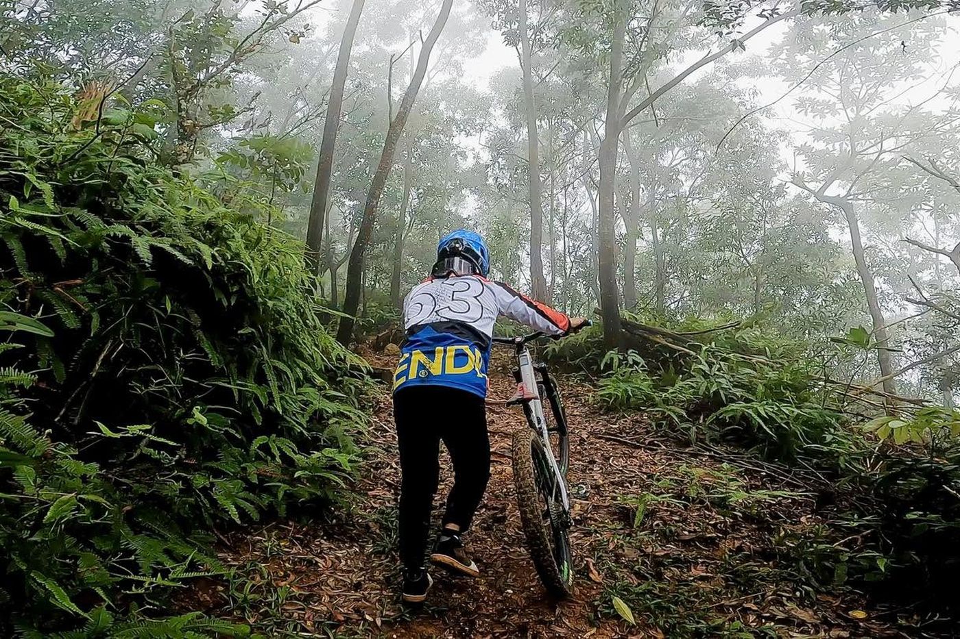
  • Pushing up through fog on the climb back to the top
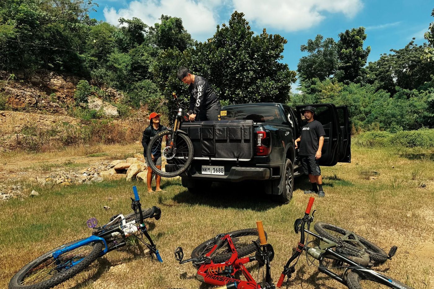
  • Bikes and a truck at the pit before the first run

Everyone outside.

Posting spots and photos happens in the app. It's on iPhone now, in open testing, and free.

Join the beta Read the magazine